
Country United States FIPS code 37-22820 Elevation 25 m Zip code 27828 Local time Thursday 12:58 PM | Time zone Eastern (EST) (UTC-5) GNIS feature ID 1020222 Area 8 km² Population 4,753 (2013) Area code 252 | |
 | ||
Weather 22°C, Wind SW at 3 km/h, 15% Humidity | ||
Today show al roker s cutie farmville north carolina
Farmville is a town in Pitt County, North Carolina, eight miles to the west of Greenville, North Carolina. The population is 4,654 as of the 2010 Census. Farmville is a part of the Greenville Metropolitan Area located in North Carolina's Inner Banks region. Farmville has been a Tree City USA community through the Arbor Day Foundation for 36 years, proving its commitment to managing and expanding its public trees.
Contents
- Today show al roker s cutie farmville north carolina
- Map of Farmville NC 27828 USA
- History
- Geography
- Demographics
- Education
- References
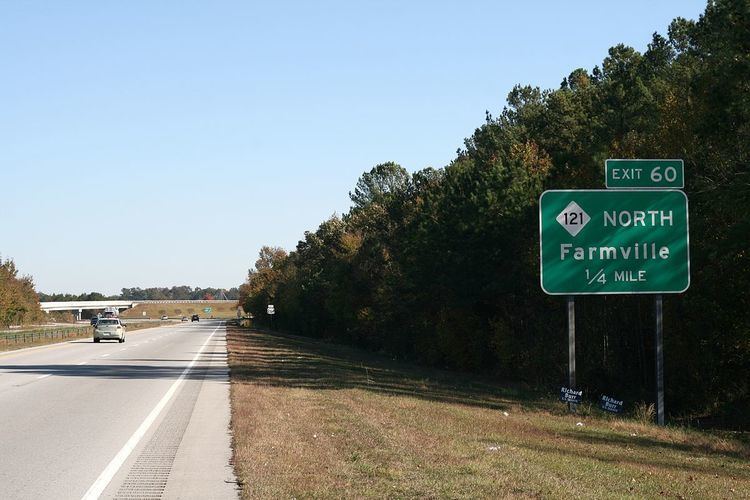
Map of Farmville, NC 27828, USA
History
The Farmville Historic District and Benjamin May-Lewis House are listed on the National Register of Historic Places.
Geography
Farmville is located at 35°35′39″N 77°35′14″W (35.594246, -77.587128).
According to the United States Census Bureau, the town has a total area of 3.1 square miles (8.0 km2), all of it land.
Demographics
As of the census of 2014, there were 5,012 people, 2,394 households, and 1,992 families residing in the town. The population density was 1,387.4 people per square mile (535.8/km²). There were 2,010 housing units at an average density of 648.2 per square mile (250.3/km²). The racial makeup of the town was 47.37% White, 50.09% African American, 0.07% Native American, 0.23% Asian, 1.19% from other races, and 1.05% from two or more races. Hispanic or Latino of any race were 2.12% of the population.
There were 1,839 households out of which 26.6% had children under the age of 18 living with them, 38.8% were married couples living together, 22.5% had a female householder with no husband present, and 34.6% were non-families. 32.1% of all households were made up of individuals and 16.9% had someone living alone who was 65 years of age or older. The average household size was 2.33 and the average family size was 2.93.
In the town, the population was spread out with 23.9% under the age of 18, 7.4% from 18 to 24, 23.4% from 25 to 44, 26.3% from 45 to 64, and 18.9% who were 65 years of age or older. The median age was 42 years. For every 100 females there were 77.7 males. For every 100 females age 18 and over, there were 71.6 males.
The median income for a household in the town was $29,229, and the median income for a family was $38,918. Males had a median income of $31,543 versus $21,968 for females. The per capita income for the town was $20,582. About 14.6% of families and 20.6% of the population were below the poverty line, including 32.8% of those under age 18 and 23.8% of those age 65 or over.