
Country United States Time zone CST (UTC-6) Elevation 198 m Local time Thursday 11:18 AM | Established November 6, 1849 ZIP codes 61441, 61459, 61482 Area 93.42 km² Population 397 (2010) | |
 | ||
Weather 9°C, Wind E at 19 km/h, 38% Humidity | ||
Farmers Township is one of twenty-six townships in Fulton County, Illinois, USA. As of the 2010 census, its population was 397 and it contained 189 housing units.
Contents
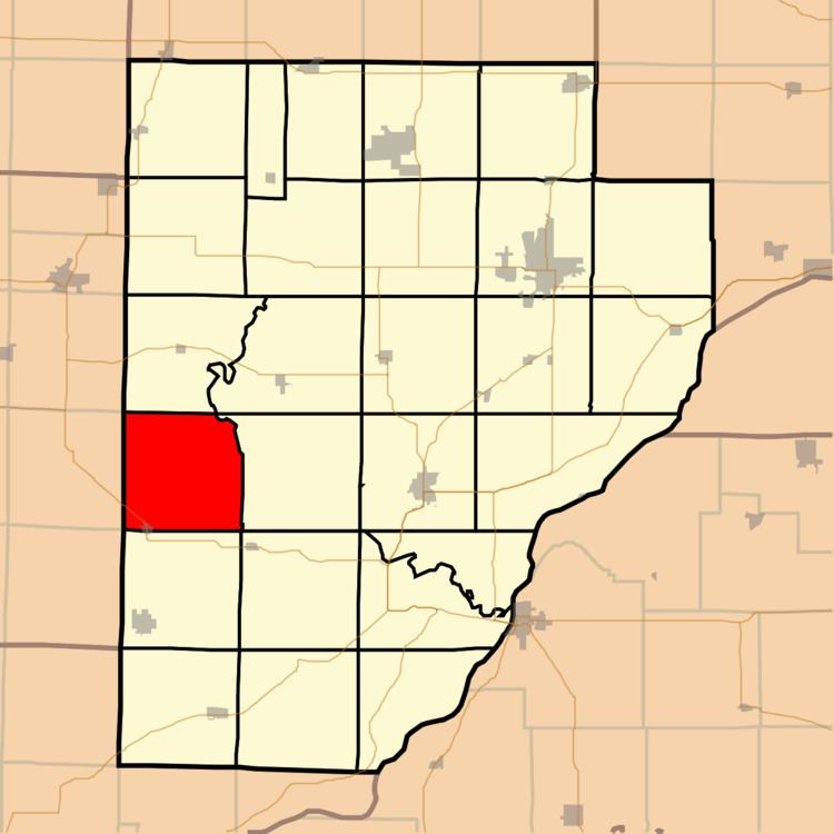
- Map of Farmers Township IL USA
- Geography
- Cities towns villages
- Cemeteries
- Major highways
- School districts
- Political districts
- References
Map of Farmers Township, IL, USA
Geography
According to the 2010 census, the township has a total area of 36.07 square miles (93.4 km2), of which 36.02 square miles (93.3 km2) (or 99.86%) is land and 0.05 square miles (0.13 km2) (or 0.14%) is water.
Cities, towns, villages
Cemeteries
The township contains these four cemeteries: Barker, Laurel Hill, Temple and Zoll.
Major highways
School districts
Political districts
References
Farmers Township, Fulton County, Illinois Wikipedia(Text) CC BY-SA