Lowest elevation 650 m (2,130 ft) Postal code 402 00 | Highest elevation 685 m (2,247 ft) Time zone EET (UTC+2) Area code(s) +30-2493-xxx-xxx | |
 | ||
Farmaki (Greek: Φαρμάκη, [faɾ'maci]) is a village of the Elassona municipality. Before the 2011 local government reform it was a part of the municipality of Sarantaporo. The 2011 census recorded 156 inhabitants in the village. Farmaki is a part of the community of Tsapournia.
Contents
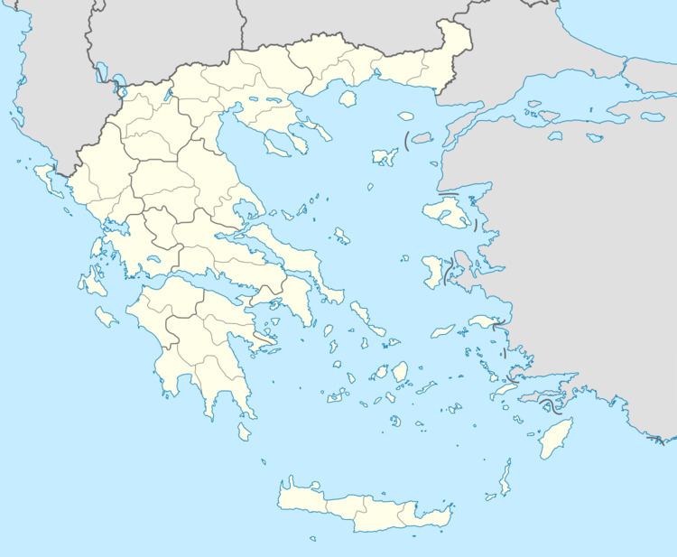
Map of Farmaki 402 00, Greece
Economy
The population of Farmaki is occupied in animal husbandry and agriculture.
Population
According to the 2011 census, the population of the settlement of Farmaki was 156 people, a decrease of almost 27% compared with the population of the previous census of 2001.
References
Farmaki Wikipedia(Text) CC BY-SA
