
Existed: 1951 – present North end: US 87 / US 287 Length 16.1 km | Constructed 1951 | |
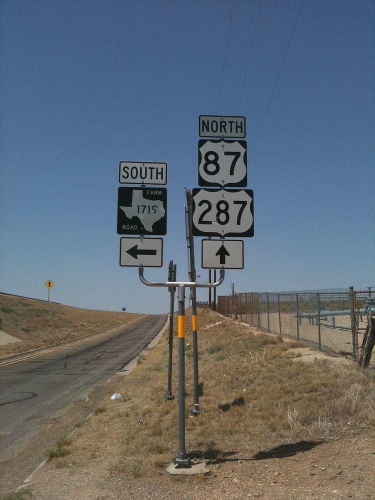 | ||
Farm to Market Road 1719 (FM 1719) is a farm to market road in the Amarillo metropolitan area of the Texas Panhandle.
Contents
- Map of Farm to Market Rd 1719 Amarillo TX 79124 USA
- Route description
- History
- Major intersections
- References
Map of Farm to Market Rd 1719, Amarillo, TX 79124, USA
Route description
FM 1719 begins at BL I-40 (Amarillo Boulevard) and travels northward along Western Street. Along this segment, the roadway is four-laned with a center turn lane until the intersection at NW 24th Avenue. After leaving the city limits, the route intersects Loop 335 and becomes a two-lane roadway. It continues northward before turning to the east along Givens Avenue. The route intersects FM 2176 before ending at the US 87 / US 287 freeway.
In 2011, the AADT was reported as 12,000 north of the intersection with Bus. I-40, 6,000 south of the interchange with Loop 335, and 760 west of the junction with US 87 / US 287.
History
A previous route numbered FM 1719 was designated in Kendall County in 1951 from US 87 to the Bandera County line. That route was cancelled the same year, becoming part of RM 475 (later SH 46).
The current FM 1719 was also designated in 1951 after the cancellation of the previous route. It ran approximately 5.8 miles (9.3 km) from the then-proposed US 66 (the present-day I-40 business route) to the north before doglegging eastward to what was then US 87. When US 87 (and then US 287) were rerouted to the new Dumas Highway in 1977, the segment of FM 1719 from the new freeway to the old alignment (now designated Loop 434) was transferred to Loop 335, which had been designated around the southern and western sides of Amarillo that year. When Loop 335 became a full loop in 1985, the dogleg eastward was transferred to that route, reducing the mileage of FM 1719 to approximately 2.9 miles (4.7 km).
In 1995, TxDOT internally redesignated FM 1719 as Urban Road 1719; as with other similar system transfers, the route maintains its FM markers.
In 1999, the Texas Transportation Commission allocated $3.9 million for the addition of shoulders to Western Street north of Loop 335, with the goal of adding that segment to FM 1719. The route reached its current length in 2005, when that northward extension and an eastward segment (which usurped a segment of FM 2176) were added, once again connecting FM 1719 with the Dumas Highway. The improvements related to this extension were completed in 2008 at a cost of approximately $360,000.
Major intersections
The entire highway is in Potter County.