
OS grid reference NY533810 District South Lakeland Post town Carnforth Dialling code 015395 | Sovereign state United Kingdom | |
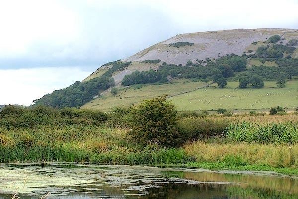 | ||
Farleton is a village near Milnthorpe in South Lakeland local government district, Cumbria, England. It is in Beetham civil parish.
Map of Farleton, Carnforth, UK
Historically within the county of Westmorland, Farleton lies just to the east of the main A6070 road, from which it is divided by the Lancaster Canal, some 8 1⁄2 miles (13.7 km) south of Kendal. Farleton used to have one public house called 'the Duke' after the Grand Old Duke of York but this was turned into a dwelling house in the early part of the twentieth century. With Farleton there is a small river and one post box. There is also a Lime Stone Kiln and the remains of a lime stone quarry.
References
Farleton, Cumbria Wikipedia(Text) CC BY-SA