
Population 1,784 (2011) Civil parish Beetham Country England Local time Wednesday 9:05 PM District South Lakeland UK parliament constituency Westmorland and Lonsdale | OS grid reference SD4979 Region North West Sovereign state United Kingdom Shire county Cumbria Dialling code 01539 | |
 | ||
Weather 4°C, Wind S at 11 km/h, 87% Humidity | ||
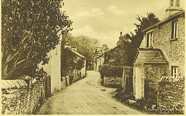
Beetham is a village and civil parish in Cumbria, England, situated on the border with Lancashire. It is part of the Arnside and Silverdale Area of Outstanding Natural Beauty.
Contents
Map of Beetham, Milnthorpe, UK
History
Craven in the Domesday Book shows that up till 1066 Earl Tostig was lord of Beetham and the surrounding areas of Farleton, Preston Richard, Hincaster, Heversham and Levens in Cumbria plus Yealand Redmayne and Borwick in Lancashire. Beetham manor then amounted to 25 carucates (ca3000 acres/1250ha) of ploughland. The Norman conquest of England added it to the extensive lands of Roger de Poitou.
Demography
The parish had a population of 1,724 recorded in the 2001 census, increasing to 1,784 at the 2011 Census.
Community
Points of interest include:
Geography
The River Bela flows past the village and through the deer park of Dallam Tower, skirting Milnthorpe before it washes out into the Kent Estuary near Sandside.
Half a mile to the south-east, Beetham Hall is a 14th-century fortified manor house, now largely ruined, adjoining later buildings.
To the north of the village is the Billerud paper factory employing 140 people and producing 45,000 tonnes/year, specialising in kraft paper for pharmaceutical and food packaging.
Civil parish
The civil parish of Beetham includes the main villages of Beetham and Storth and the smaller communities of Carr Bank, Sandside, Hale, Slackhead, Farleton and Whasset.