
Vehicle registration KE | Time zone EET (UTC+2) Local time Thursday 4:06 PM | |
 | ||
Weather 14°C, Wind N at 24 km/h, 61% Humidity | ||
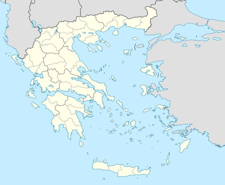
Faraklata (Greek: Φαρακλάτα) is a village and a community in the municipal unit of Argostoli, Cephalonia, Greece. It is situated on a mountain slope above the eastern shore of the Gulf of Argostoli, at about 220 m elevation. Faraklata is 2 km south of Dilinata, 4 km northeast of Argostoli and 7 km northwest of Valsamata. The community consists of the villages Faraklata (population 330 in 2011), Razata (pop. 507), Drapano (pop. 135) and Prokopata (pop. 86). There is a small cave east of the village. Faraklata suffered great damage from the 1953 Ionian earthquake.
Map of Faraklata 281 00, Greece
References
Faraklata Wikipedia(Text) CC BY-SA