
Demonym(s) Faresi Dialing code 0363 Local time Thursday 2:42 PM Dialling code 0363 | Elevation 131 m (430 ft) Time zone CET (UTC+1) Area 10.6 km² Postal code 24045 | |
 | ||
Weather 18°C, Wind SW at 10 km/h, 30% Humidity | ||
Fara Gera d'Adda is a comune (municipality) in the Province of Bergamo in the Italian region of Lombardy, located about 30 kilometres (19 mi) northeast of Milan and about 20 kilometres (12 mi) southwest of Bergamo. As of 31 December 2004, it had a population of 7,396 and an area of 10.6 square kilometres (4.1 sq mi).
Contents
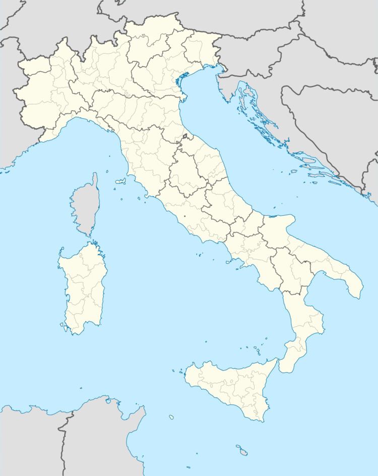
Map of 24045 Fara Gera d'Adda, Province of Bergamo, Italy
Fara Gera d'Adda borders the following municipalities: Canonica d'Adda, Cassano d'Adda, Pontirolo Nuovo, Treviglio, Vaprio d'Adda.
Fara gera d adda tuffi dal ponte
References
Fara Gera d'Adda Wikipedia(Text) CC BY-SA