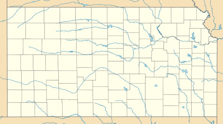
Country United States County Doniphan Area code(s) 785 Elevation 270 m | State Kansas Time zone Central (CST) (UTC-6) GNIS feature ID 473026 Local time Thursday 5:12 AM | |
 | ||
Weather 2°C, Wind NE at 3 km/h, 65% Humidity | ||
Fanning is an unincorporated community in Doniphan County, Kansas, United States. Fanning is located along K-7 5 miles (8.0 km) northwest of Troy.
Contents
Map of Fanning, KS 66087, USA
History
Fanning had its start in the year 1870 by the building of the Burlington and Missouri River Railroad through that territory.
A post office was opened in Fanning in December, 1870, and remained in operation until it was discontinued in July, 1933.
References
Fanning, Kansas Wikipedia(Text) CC BY-SA
