
Country India Lok Sabha constituency Alipurduars Area 312.6 km² | Time zone IST (UTC+5:30) | |
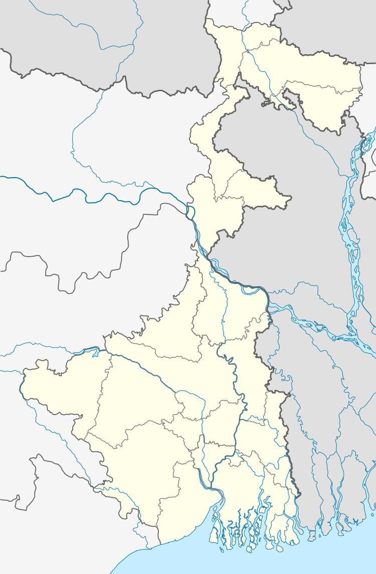 | ||
Falakata (community development block) is an administrative division in Alipurduar subdivision of Alipurduar district in the Indian state of West Bengal. Falakata police station serves this block. Headquarters of this block is at Falakata. There is one census town in this block: Falakata.
Contents
Geography
Falakata is located at 26°32′N 89°12′E.
Falakata community development block has an area of 312.58 km2.
Gram panchayats
Gram panchayats of Falakata block/ panchayat samiti are:
- Dalgaon,
- Deogaon,
- Dhanirampur I,
- Dhanirampur II,
- Falakata I,
- Falakata II,
- Guabar Nagar,
- Jateswar I,
- Jateswar II,
- Mairadanga,
- Parengerpar, #Salkumar.
Demographics
As per 2011 Census of India Falakata CD Block had a total population of 290,722 of which 244,161 were rural and 46,561 were urban. There were 149,626 males and 141,096 females. Scheduled Castes numbered 118,281 and Scheduled Tribes numbered 46,293.
Literacy
As per 2011 census the total number of literates in Falakata CD Block was 185,868, out of which 103,815 were males and 82,053 were females.
Transport
NH 31 passes through the block.