
Vehicle registration WB Elevation 88 m Local time Sunday 3:37 PM | Time zone IST (UTC+5:30) Lok Sabha constituency Alipurduars (SC) Population 18,801 (2001) University Falakata College | |
 | ||
Weather 25°C, Wind W at 18 km/h, 42% Humidity Neighborhoods Deshbandhu Para, Vidya Sagar Pally, Babupara | ||
Bolo na priya 2016 falakata
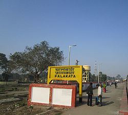
Falakata is a census town of Alipurduar subdivision in Alipurduar district in the state of West Bengal State in India.
Contents
- Bolo na priya 2016 falakata
- Map of Falakata West Bengal 735211
- Geography
- Demographics
- Education
- References
Map of Falakata, West Bengal 735211
Geography
Falakata is located at 26.53°N 89.2°E / 26.53; 89.2 It has an average elevation of 88 metres (288 feet). This place is a recently declared Municipality. Mujnai is the main river. Falakata is surrounded by rich forests, corn fields and the nearby Kunjanagar Eco-Park.
Demographics
As of 2001 India census, Falakata had a population of 18,801. Males constitute 51% of the population and females 49%. Falakata has an average literacy rate of 76%, higher than the national average of 59.5%: male literacy is 81%, and female literacy is 71%. In Falakata, 12% of the population is under 6 years of age.
Education
Falakata College is one of the very prominent Colleges.It offers only Arts
Tourism- falakata has many tourist place s nearby such as darjeeling ,mahananda wildlife sanctuary ,gangtok one can easily reach there by trains as well as personal vehicle .
Transportation- falakata does not have any city bus services in town but there are numerous intercity buses available for nearby towns .