
Country India Administrative division Faizabad Tehsils 4 Tehsil 4 | State Uttar Pradesh Headquarters Faizabad Area 2,799 km² Local time Sunday 2:46 PM | |
 | ||
Major highways NH 27, NH 330 , NH330a, SH 30 Weather 26°C, Wind NW at 23 km/h, 29% Humidity University Dr. Ram Manohar Lohia Avadh University Points of interest Hanumangarhi, Babri Masjid, Ram Janmabhoomi, Dashrath Mahal, Guptar Ghat | ||
Faizabad district is one of the 71 districts of Uttar Pradesh state in northern India. Faizabad city is the administrative headquarters of this district. The district occupies an area of 2,764 km². The district had a population of 2,468,371 at the 2011 Census.
Contents
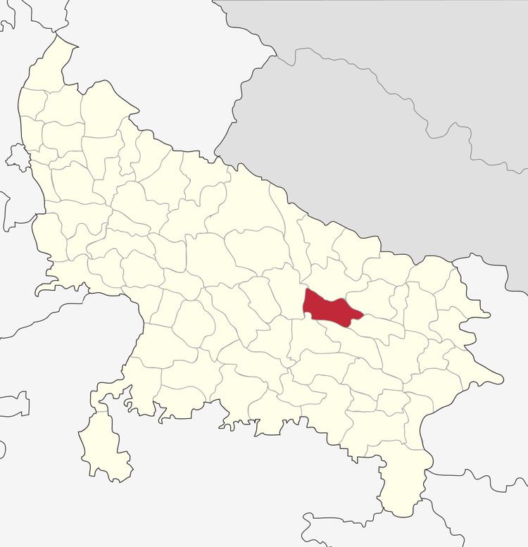
Map of Faizabad, Uttar Pradesh
Demographics
According to the 2011 Indian census, Faizabad district has a population of 2,468,371. roughly equal to the nation of Kuwait or the US state of Nevada. This gives it a ranking of 178th in India (out of a total of 640). The district has a population density of 1,054 inhabitants per square kilometre (2,730/sq mi) . Its population growth rate over the decade 2001-2011 was 18.16%. Faizabad has a sex ratio of 961 females for every 1000 males, and a literacy rate of 70.63%.
Education
In 1975, the Dr. Ram Manohar Lohia Avadh University|Avadh University was established in Faizabad city, which was later renamed as Dr. Ram Manohar Lohia Avadh University. and N.D.A.U & T This is a state agricultural university situated at Faizabad Kumarganj town.
Faizabad District was the capital of Awadh region during Nawab Period.