
Country New Zealand Territorial authority Population 717 (2013) | Region Canterbury Postcode 7925 Local time Sunday 8:03 PM | |
 | ||
Weather 9°C, Wind SE at 11 km/h, 100% Humidity Points of interest Mt. Dobson Ski Area, Fairlie Heritage Museum, Opuha Dam, Fox Peak | ||
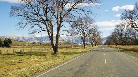
Fairlie is a Mackenzie District service town located in the Canterbury region of the South Island of New Zealand. As of the 2013 census, the population was 717.
Contents
Map of Fairlie 7987, New Zealand
From 1884 to 1968, the town was served by the Fairlie Branch railway, though until 1934, this branch line actually terminated a kilometre beyond Fairlie in Eversley.
Fairlie is commonly known as the gateway to the Mackenzie Basin. It was first known as Fairlie's Creek and supposedly named because it reminded early settlers of Fairlie in Scotland.
Fairlie hosts the annual Mackenzie District Agricultural and Pastoral show every Easter Monday. The 105th annual show was in 2006.
Being on the tourist highway between Christchurch and Queenstown, tourism is fast becoming a major industry within the town.
Education
Fairlie has three schools.