
Country United States Area code(s) 541 Elevation 193 m Population 278 (2010) | Time zone Pacific (PST) (UTC-8) GNIS feature ID 1136275 Area 4.8 km² | |
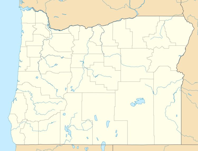 | ||
Fair Oaks is an unincorporated community and census-designated place in Douglas County, in the U.S. state of Oregon. It lies at the south end of Driver Valley and along Calapooya Creek, between Sutherlin and Nonpareil by road and upstream from Oakland along the creek. As of the 2010 census, it had a population of 278.
Map of Fair Oaks, OR 97462, USA
Fair Oaks was named for the oak trees in its vicinity. It had its own post office from 1878 through 1882, and thereafter Fair Oaks mail went via the post office at Oakland.
References
Fair Oaks, Oregon Wikipedia(Text) CC BY-SA