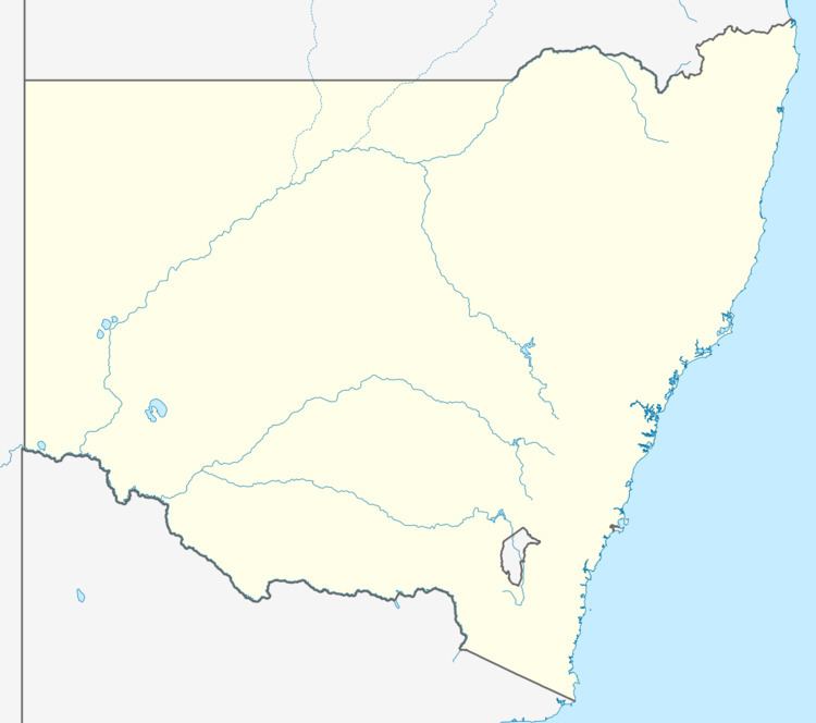
Population 495 (2011 census) Time zone AEST (UTC+10) Postal code 2430 | Postcode(s) 2430 LGA(s) Mid-Coast Council Area 15.6 km² Local time Sunday 3:27 PM Federal division Division of Paterson | |
 | ||
Location 288 km (179 mi) NNE of Sydney149 km (93 mi) NNE of Newcastle25 km (16 mi) S of Taree15 km (9 mi) NW of Forster Weather 26°C, Wind NE at 27 km/h, 59% Humidity | ||
Failford is a locality in the Mid-Coast Council local government area on the Mid North Coast of New South Wales, Australia. Located to the east of the Pacific Highway, Failford is about 15 km (9 mi) northwest of Forster. At the 2011 census it had a population of 495.
Map of Failford NSW 2430, Australia
Failford is a water skiing and boating location with the nearby Wallamba River, which runs between Nabiac and Tuncurry. It has a number of attractions, including the Terracotta Tea House, the Little Darlings Doll Museum and Coffee Shop, and the "Ton o Fun" amusement park which offers waterslides, bumper boats, go-karts and many other activities.
References
Failford, New South Wales Wikipedia(Text) CC BY-SA
