
Population 1,508 (2011 census) LGA(s) Mid-Coast Council Postal code 2312 | Postcode(s) 2312 Local time Monday 7:06 AM | |
 | ||
Location 281 km (175 mi) NNE of Sydney29 km (18 mi) SSW of Taree Weather 23°C, Wind NE at 16 km/h, 99% Humidity Federal divisions Division of Paterson, Division of Lyne | ||
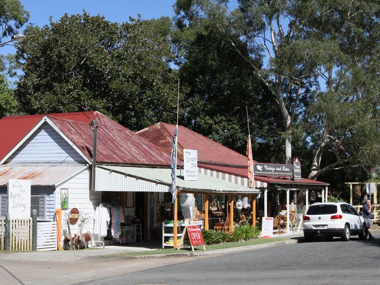
Nabiac is a small town on the Mid North Coast, New South Wales, Australia in Mid-Coast Council. It is north-west of Forster, and south of Taree. At the 2011 census, the population of Nabiac and the surrounding area was 1,508.
Map of Nabiac NSW 2312, Australia
Nabiac is the central town of the Wallamba Valley. As is typical of small North Coast towns, it developed in the second half of the 19th century as a small river port (later called Bullocks Wharf on the eastern edge of the town) for the hardwood-cutting (mainly Australian red cedar) trade. Later as the valley was cleared, small-scale dairying and corn-growing became dominant. At first milk was mainly bought by the dairy at Dyers Crossing (about 6 km west of Nabiac). Later fresh milk was also supplied to the Sydney market via the Sydney Milk Board. Prior to the mid-1950s, Nabiac was relatively isolated, but the relocation of the Pacific Highway at that time changed its nature, and it has steadily become more of a highway service town and tourist stopping point.
The poet Les Murray was born in Nabiac, although his family lived in nearby Bunyah. He travelled to school in Nabiac for his primary and early high school education.