
Country United States GNIS feature ID 512105 Population 235 (2010) | Time zone Eastern (EST) (UTC-5) Elevation 288 m Local time Friday 11:53 PM | |
 | ||
Weather 1°C, Wind N at 8 km/h, 42% Humidity | ||
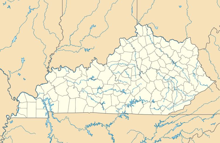
Ezel (also Ecell and Ezell) is a census-designated place (CDP) in Morgan County, Kentucky, United States. It lies along U.S. Route 460, west of the city of West Liberty, the county seat of Morgan County. Its elevation is 945 feet (288 m). Although it is unincorporated, it has a small post office, with the ZIP code 41425.
Contents
Map of Ezel, KY 41425, USA
History
First incorporated in 1882, the town was given the name Ezel, for a rock in the Bible, by its first postmaster, Eli Pieratt, when the post office opened in 1875. It is now home to Ezel Elementary School and the Blackwater Volunteer Fire Department.
References
Ezel, Kentucky Wikipedia(Text) CC BY-SA