
Location Limburg, Netherlands Length 1,100 m (3,600 ft) Maximum gradient 18.0 % Province Limburg | Altitude 187 m (614 ft) Average gradient 8.1 % Elevation 195 m | |
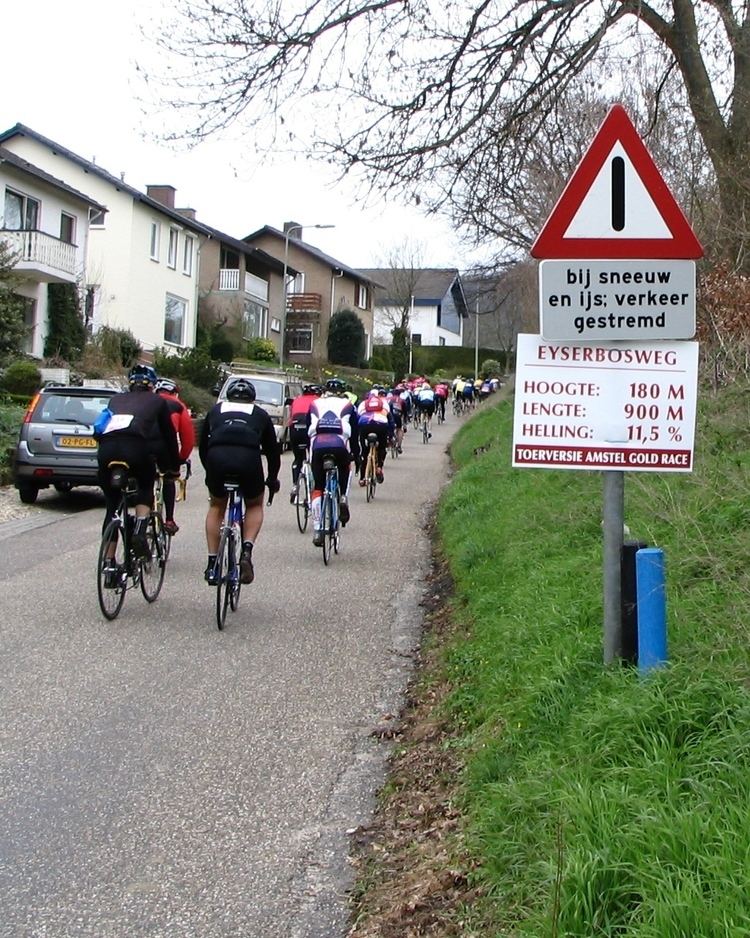 | ||
The Eyserbosweg is a road located in Eys in the south of Limburg, Netherlands. The road is used as a climb in cycling racing and most famously during the Amstel Gold Race, but is also climbed during the Ster Elektrotoer, Hel van het Mergelland, Olympia's Tour and the Eneco Tour
Contents
Map of Eyserbosweg, Eys, Netherlands
Amstel Gold Race
The Eyserbosweg is located at 20 km before the finish on the Cauberg. The climb marks the start of the final and is used by race favourites as one of the hills to place their attacks. After the Eyserbosweg the cyclists climb the Fromberg, Keutenberg and the finishclimb of the Cauberg.
References
Eyserbosweg Wikipedia(Text) CC BY-SA