
Population 389 (2011 census) Time zone AEST (UTC+10) Postal code 7275 Federal division Division of Lyons | Postcode(s) 7275 Area 3.2 km² Local time Saturday 4:31 AM | |
 | ||
Location 24 km (15 mi) N of Launceston223 km (139 mi) N of Hobart Weather 17°C, Wind E at 8 km/h, 90% Humidity | ||
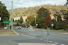
Exeter is a small town approximately 24 kilometres north of the city of Launceston, Tasmania, Australia. At the 2011 census, Exeter had a population of 389.
Contents
Map of Exeter TAS 7275, Australia
It is an important town agriculturally due to its positioning in the centre of a large rural area known for its orchards, dairy and beef cattle, fruit produce and sheep herds.
Features
The Exeter Methodist Church is a timber building that was completed in 1861, being the oldest Methodist Church in Tasmania. Brady's Lookout is 5 km (3 mi) south of Exeter on the West Tamar Highway. It was used by the infamous bushranger Matthew Brady to identify potential victims below.
Education
Exeter High School is a comprehensive secondary school located on Glen-Ard-Mohr Road. It was established in 1985, following a reorganisation of the earlier Exeter District High School.