
 | ||
North south highway jamaica part 1 ewarton to moneague
Ewarton is a town in the parish of Saint Catherine, Jamaica.
Contents
- North south highway jamaica part 1 ewarton to moneague
- Map of Ewarton Jamaica
- History
- Schools
- Churches
- Other
- Road
- Rail
- References
Map of Ewarton, Jamaica
History
The name is most likely a compound of the surname "Ewart" and the suffix -ton, meaning town.
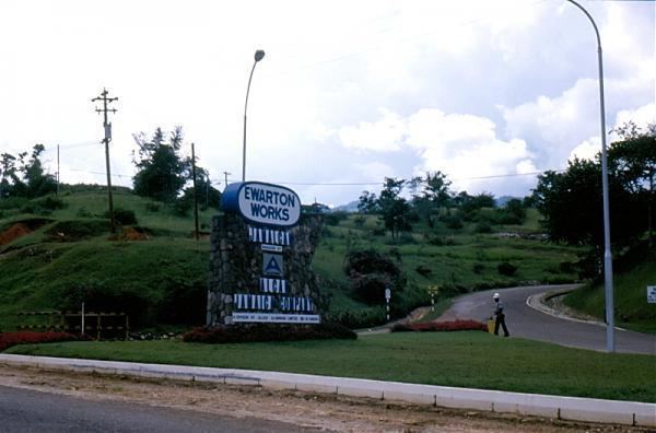
The town's economy prospered particularly from 1957 when ALCAN established a bauxite plant nearby. The plant was later transferred to WINDALCO and was closed in early 2009 due to a fall in demand for aluminium as a result of the global recession.
Schools
Churches
There are ten churches:
Other
There is a police station, a market which was recently reopened following a three-year closure for refurbishment, and a post office. There is no library, but a Bookmobile visits regularly.
Road
Ewarton is on the A1 road (Kingston - Lucea), which climbs up from Spanish Town and Bog Walk in the south, enters the town from the south east, passes through the town's central square and continues north towards Moneague and Saint Ann's Bay. The central square is also the town's transport hub from which ply taxis and buses.
Rail
From 1885 to 1947 Ewarton railway station was the terminus of a 14-mile railway branch line from Spanish Town. In 1947 the section of the line from Linstead to Ewarton was deemed unprofitable and closed.