
Country United States FIPS code 01-24664 Elevation 66 m Population 2,859 (2013) Area code 205 | Time zone Central (CST) (UTC-6) GNIS feature ID 0118059 Zip code 35462 Local time Thursday 5:10 PM | |
 | ||
Weather 24°C, Wind S at 10 km/h, 47% Humidity Area 31.08 km² (30.82 km² Land / 21 ha Water) | ||
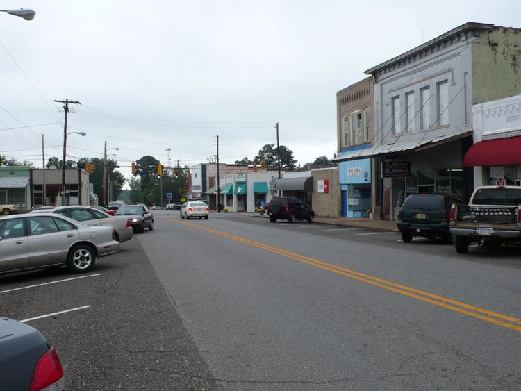
The southerner at eutaw alabama
Eutaw (/ˈjuːtɔː/ YEW-taw) is a city in Greene County, Alabama, United States. At the 2010 census the population was 2,934. The city is the county seat of Greene County and was named in honor of the Battle of Eutaw Springs, the last engagement of the American Revolutionary War in the Carolinas.
Contents
- The southerner at eutaw alabama
- Map of Eutaw AL 35462 USA
- Eutaw alabama
- History
- Geography
- Demographics
- 2010 census
- Events
- In popular culture
- Notable people
- Climate
- References
Map of Eutaw, AL 35462, USA
Schools in Eutaw include Robert Brown Middle School, Eutaw Primary School, and Greene County High School.
Eutaw alabama
History
Eutaw was laid out in December 1838 at the time that Greene County voters chose to relocate the county seat from Erie, which was located on the Black Warrior River. It was incorporated by an act of the state legislature on January 2, 1841.
During the Reconstruction Era, Eutaw was the site of a number of Klan murders and rebellion acts. On March 31, 1870, the county solicitor, Alexander Boyd, was taken from his hotel and murdered by a group of Klan members (a self-avowed historian of the klan claims it was a group from Mississippi). In the fall of that same year, in the run-up to the gubernatorial election, after the killing of two black politicians in Greene County, the Eutaw riot took place outside the county courthouse, during which up to four blacks were killed by whites.
Eutaw has twenty-seven antebellum structures on the National Register of Historic Places. Twenty-three of these are included in the Antebellum Homes in Eutaw multiple property submission. The Coleman-Banks House, Old Greene County Courthouse, First Presbyterian Church, and Kirkwood are listed individually. Additionally, the Greene County Courthouse Square District is a historic district in the heart of downtown. A nearby property, Everhope Plantation, is also listed in the register.
James Bevel, the main strategist and architect of the Civil Rights Movement and its 1963 Birmingham Children's Crusade, 1965 Selma to Montgomery march, and 1966 Chicago Open Housing Movement, was buried in Eutaw on December 29, 2008.
Eutaw is home to the Roman Catholic Convent of Our Lady of Consolata, the Consolata Sisters, a small monastery for nuns in West Alabama; they are known throughout Greene County for their humanitarian efforts.
Geography
Eutaw is located east of the center of Greene County at 32°50′26″N 87°53′21″W. U.S. Routes 11 and 43 pass through the center of town. The highways enter together from the northeast as Tuscaloosa Street; US 11 exits the city to the west as Boligee Street, while US 43 leaves to the south as Demopolis Highway. Alabama State Route 14 passes through the city as Greensboro Street to the southeast and Mesopotamia Street to the northwest. Interstates 20 and Interstate 59 run through the northwest corner of the city, with access from Exit 40 (Highway 14), 3 miles (5 km) northwest of the center of town. Tuscaloosa is 34 miles (55 km) to the northeast via Interstate 20/59, and Meridian, Mississippi, is 60 miles (97 km) to the southwest. Demopolis is 24 miles (39 km) south via US 43, Greensboro is 21 miles (34 km) to the southeast via Highway 14, and Aliceville is 27 miles (43 km) to the northwest via 14.
According to the U.S. Census Bureau, Eutaw has a total area of 12.0 square miles (31.1 km2), of which 11.9 square miles (30.9 km2) is land and 0.1 square miles (0.2 km2), or 0.63%, is water. The center of town is 3 miles (5 km) west of the Black Warrior River, accessible to boats at Finches Ferry Public Use Area.
Demographics
As of the census of 2000, there were 1,878 people, 778 households, and 504 families residing in the city. The population density was 411.1 people per square mile (158.7/km2). There were 899 housing units at an average density of 196.8 per square mile (76.0/km2). The racial makeup of the city was 33.01% White, 66.03% Black or African American, 0.27% Native American, 0.21% Asian, and 0.48% from two or more races. 0.37% of the population were Hispanic or Latino of any race.
There were 778 households out of which 24.7% had children under the age of 18 living with them, 39.5% were married couples living together, 21.5% had a female householder with no husband present, and 35.1% were non-families. 33.5% of all households were made up of individuals and 15.4% had someone living alone who was 65 years of age or older. The average household size was 2.31 and the average family size was 2.95.
In the city, the population was spread out with 22.4% under the age of 18, 8.0% from 18 to 24, 22.6% from 25 to 44, 24.4% from 45 to 64, and 22.5% who were 65 years of age or older. The median age was 43 years. For every 100 females there were 84.8 males. For every 100 females age 18 and over, there were 75.9 males.
The median income for a household in the city was $23,056, and the median income for a family was $32,946. Males had a median income of $30,284 versus $18,869 for females. The per capita income for the city was $14,573. About 24.7% of families and 28.9% of the population were below the poverty line, including 39.4% of those under age 18 and 22.5% of those age 65 or over.
2010 census
As of the census of 2010, there were 2,934 people, 1,203 households, and 760 families residing in the city. The population density was 408.3 people per square mile (159.2/km2). There were 1,355 housing units at an average density of 294.6 per square mile (114.8/km2). The racial makeup of the city was 80.2% Black or African American, 18.1% White, 0.1% Native American, 0.4% Asian, and 0.6% from two or more races. 1.3% of the population were Hispanic or Latino of any race.
There were 1,203 households out of which 25.6% had children under the age of 18 living with them, 30.8% were married couples living together, 28.4% had a female householder with no husband present, and 36.8% were non-families. 34.2% of all households were made up of individuals and 15.5% had someone living alone who was 65 years of age or older. The average household size was 2.40 and the average family size was 3.10.
In the city, the population was spread out with 25.8% under the age of 18, 9.2% from 18 to 24, 19.8% from 25 to 44, 28.4% from 45 to 64, and 16.8% who were 65 years of age or older. The median age was 39 years. For every 100 females there were 82.7 males. For every 100 females age 18 and over, there were 77.5 males.
The median income for a household in the city was $29,196, and the median income for a family was $39,722. Males had a median income of $43,125 versus $28,077 for females. The per capita income for the city was $14,126. About 27.4% of families and 28.7% of the population were below the poverty line, including 38.7% of those under age 18 and 17.0% of those age 65 or over.
Events
The city hosts annual parades for Christmas, the Homecoming parade for surrounding schools in the area, and a parade for Martin Luther King, Jr. Day. Preceding the Christmas parade is the annual Christmas tree lighting by the city's mayor and a special Christmas program on that night, on the lawn of the Historic Courthouse Square. The National Day of Prayer is held on the historic courthouse square and so is Veteran's Day. Eutaw is known for its architecture and so the Historic Parade and viewing of homes is popular in this town and the event attracts many tourists.
In popular culture
Eutaw is the home town of the protagonist in the Old Crow Medicine Show song "Big Time in the Jungle," released in 2004. The band also released an album in 2001 entitled "Eutaw." In addition, the town's name is referenced in the song "Don't Ride That Horse," among the other cities of Winnipeg, Joliet, Saskatoon, and Wawa.
Notable people
Climate
The climate in this area is characterized by hot, humid summers and generally mild to cool winters. According to the Köppen Climate Classification system, Eutaw has a humid subtropical climate, abbreviated "Cfa" on climate maps.