Neha Patil (Editor)

Eure (river)

Updated on
Edit
Like
Comment
Share on FacebookTweet on TwitterShare on LinkedInShare on Reddit
River mouth
  
Seine

Discharge
  
26.2 m³/s

Basin area
  
5,935 km²

Source
  
Normandy

Country
  
France

Progression
  
Seine→ English Channel

Length
  
229 km

Source elevation
  
240 m

Mouth
  
Seine

Eure (river) httpsmedia1britannicacomebmedia451415450

Main source
  
Normandy 240 m (790 ft)

Basin size
  
5,935 square kilometres (2,292 sq mi)

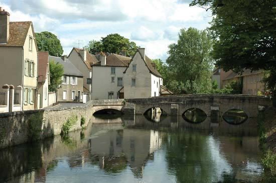
The Eure is a river of Normandy in north-western France, left tributary of the Seine. It rises at Marchainville in the Orne department and joins the Seine near Pont-de-l'Arche. Two departments are named after the Eure, namely Eure and Eure-et-Loir.

Map of Eure, France

Places along the river:

  • Orne (61): Marchainville, La Lande-sur-Eure, Neuilly-sur-Eure.
  • Eure-et-Loir (28): Courville-sur-Eure, Saint-Georges-sur-Eure, Fontenay-sur-Eure, Chartres, Saint-Prest, Maintenon, Nogent-le-Roi, Mézières-en-Drouais, Cherisy, Anet.
  • Eure (27): Évreux, Ivry-la-Bataille, Garennes-sur-Eure, Bueil, Merey, Pacy-sur-Eure, Ménilles, Chambray, Croisy-sur-Eure, Autheuil-Authouillet, Acquigny, Louviers, Le Vaudreuil, Pont-de-l'Arche, Martot.
  • Its main tributaries are the Avre and the Iton.

    References

    Eure (river) Wikipedia