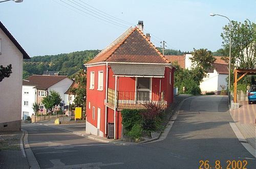
Country Germany District Kaiserslautern Elevation 385 m (1,263 ft) Area 3.97 km² Population 507 (31 Dec 2008) Dialling code 06374 | State Rhineland-Palatinate Municipal assoc. Weilerbach Time zone CET/CEST (UTC+1/+2) Local time Thursday 2:45 AM Postal code 67685 | |
 | ||
Weather 9°C, Wind W at 14 km/h, 100% Humidity | ||
Eulenbis is a municipality in the district of Kaiserslautern, in Rhineland-Palatinate, western Germany.
Contents
Map of Eulenbis, Germany
Geography
Eulenbis lies around 13 kilometers northwest of Kaiserslautern. The Eulenkopf to the west has a height of 422 meters, and Eulenbis is the highest part of the greater Weilerbach community.
History
The first documented mention of the town as Ulengebeiß dates back to the year 1380.
Town Council
The Eulenbis town council consists of twelve members who were last elected in 2009. The council is headed up by a volunteer mayor.
Coat of Arms
Emblazoning: "In Gold auf gewölbtem grünem Boden eine goldbewehrte schwarze Eule".
Transportation
References
Eulenbis Wikipedia(Text) CC BY-SA
