
District Westerwaldkreis Elevation 401 m (1,316 ft) Area 238 ha Postal code 56244 Dialling code 06435 | Time zone CET/CEST (UTC+1/+2) Local time Wednesday 5:50 PM Population 319 (31 Dec 2008) | |
 | ||
Weather 3°C, Wind S at 13 km/h, 98% Humidity | ||
Ettinghausen is an Ortsgemeinde – a community belonging to a Verbandsgemeinde – in the Westerwaldkreis in Rhineland-Palatinate, Germany.
Contents
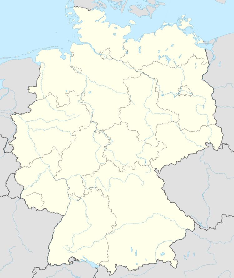
Map of 56244 Ettinghausen, Germany
Location
The community lies in the Westerwald between Montabaur and Hachenburg. The community belongs to the Verbandsgemeinde of Wallmerod, a kind of collective municipality.
History
In 1367, Ettinghausen had its first recorded mention, as Ittincusen.
Community council
The council is made up of 8 council members who were elected in a majority vote in a municipal election on 7 June 2009.
Transport
Running right through the community is Bundesstraße 255 linking Montabaur and Herborn. The nearest Autobahn interchange is Montabaur on the A 3 (Cologne–Frankfurt), some 10 km away. The nearest InterCityExpress stop is the railway station at Montabaur on the Cologne-Frankfurt high-speed rail line.