
Time zone BRT/BRST (UTC-3/-2) Area 296.4 km² | Elevation 595 m (1,952 ft) Postal code 15650-000 Local time Wednesday 6:38 AM | |
 | ||
Weather 23°C, Wind E at 5 km/h, 93% Humidity | ||
Estrela d'Oeste is a municipality in the state of São Paulo, Brazil. The population is 8,462 (2015 est.) in an area of 296.3 km². Estrela d'Oeste belongs to the Mesoregion of São José do Rio Preto.
Contents
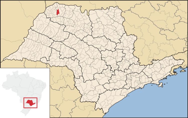
- Map of Estrela DOeste Estrela dOeste State of SC3A3o Paulo Brazil
- History
- Census Data 2010
- Census Data 2000
- References
Map of Estrela D'Oeste, Estrela d'Oeste - State of S%C3%A3o Paulo, Brazil
History
The area of Estrela d´Oeste was first explored at the beginning of the 20th century. Settlement started in 1942, and in 1949 it became an independent municipality by separation from Fernandópolis.
Census Data - 2010
Total Population: 8208
Population density (inhabitants / Km ²): 27.69
Census Data - 2000
(Source: IPEADATA)
References
Estrela d'Oeste Wikipedia(Text) CC BY-SA