
 | ||
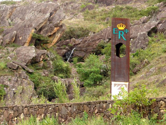
Estrada Real ([iʃˈtɾadɐ ʁeˈaw], Royal Road) is a set of colonial-era roads in Brazil.
Contents
Definition
The name refers to the land that Portuguese colonial administrators had chosen to improve communication, settlement, and the economic exploitation of Brazil’s resources and of its other colonies. Its "royal" name reflects the economic ideologies of mercantilism, which proposed that colonies existed for the purpose of supplying the metropole with resources. To protect colonial assets from piracy and smuggling, these roads became the only authorized paths for the movement of people and goods. Opening other routes constituted a crime of lèse-majesté. It was similar to the Spanish "Caminos Reales" (Royal Paths) or the United States' "Carretera Militar" (Military Roads), which ensured the flow of goods and the movement of troops in the colonies.
From the second half of the eighteenth century, there was a decline in mineral production in Minas Gerais that led to an increase of fiscal policy and a dissatisfaction which led to the independence movement. With the Independence of Brazil in the early nineteenth century, these paths become free, thus building, with the wealth provided by coffee plantations, the main thrust of urbanization in the Southeast.
History
Beginning circa 1697, Portuguese colonists in Brazil began using the labor of enslaved Africans to build the road. This was shortly after gold, diamonds, and other precious minerals were discovered in the present-day state of Minas Gerais. The road's purpose was to facilitate the movement of those minerals from the interior to the coast and thence to Lisbon. The original road—Caminho Velho—began in Paraty and went north through the towns of São João del-Rey, Tiradentes, Coronel Xavier Chaves, Congonhas, Itatiaia and, ultimately, Vila Rica, today's Ouro Preto. Later, the distance to Ouro Preto was shortened by the Caminho Novo, which started from Rio de Janeiro. The road was extended northward through Mariana, Catas Altas, Santa Bárbara, Barão de Cocais, Ipoema, Conceição do Mato Dentro, Serro, São Gonçalo do Rio das Pedras, and, at the northernmost point, Diamantina. The length of both roads combined is about 1,400 km (870 mi).
Transportation along the road was tightly controlled by agents of the Crown to prevent smuggling and unauthorized movement. Goods were transported in mule trains known as tropas, led by tropeiro mule drivers. Products from Portugal made their way up the road while minerals made their way to the coast, as manufacturing and many crops were prohibited by the Crown so as to keep the region economically dependent on Portugal. Many of Brazil's hearty dishes, such as feijão tropeiro and tutu, were originally prepared by the tropeiros, who needed food that could be transported without spoiling.
The towns along the Estrada Real were opulent in the days of gold and diamonds, but by the end of the 18th century, the minerals became more scarce and the economy went into decline. Recent efforts by governmental and non-governmental organizations are turning the Estrada Real into a route that leads tourists through the cradle of Brazilian culture. The road is still mostly unpaved, and the towns and villages along the way appear much the way they did in the 19th century. Magnificent churches still stand in towns that have been economically stagnant for over a century. The tourism initiative is educating people to retain their traditional ways and preserve the Baroque architecture of their old churches and government buildings.