
Country France Population (1999) 321 Local time Wednesday 10:54 AM | Canton Houdain Area 3.89 km² | |
 | ||
Intercommunality Communauté d'agglomération de l'Artois Weather 9°C, Wind SW at 26 km/h, 99% Humidity | ||
Estrée-Cauchy is a commune in the Pas-de-Calais department in the Hauts-de-France region of France.
Contents
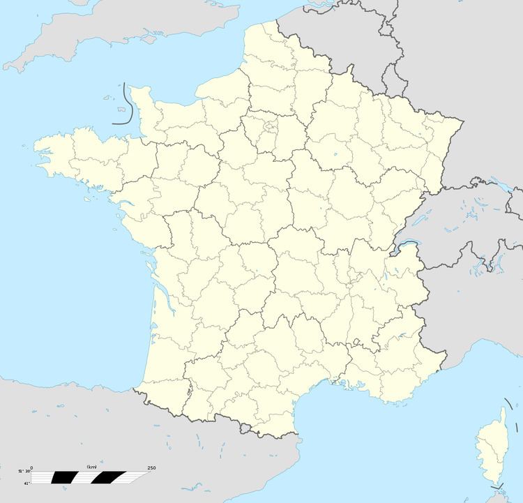
Map of Estr%C3%A9e-Cauchy, France
Geography
A farming village some 12 miles (19.3 km) to the northwest of Arras and 11 miles (17.7 km) south of Béthune, on the D341 road.
It is one of many villages in the north of France bearing the name Estrées. The etymology of the name is from strata (cognate of English "street"), the word for the stone-layered Roman roads in the area (some of which turned into modern highways). Hence Estreti, village on the road which developed into Estrées.
Places of interest
References
Estrée-Cauchy Wikipedia(Text) CC BY-SA