
Time zone CET/CEST (UTC+1/+2) Area 49.53 km² Local time Wednesday 8:10 AM Municipal assoc. Nordhümmling | Elevation 13 m (43 ft) Postal codes 26897 Population 5,219 (31 Dec 2008) Postal code 26897 | |
 | ||
Weather 4°C, Wind S at 14 km/h, 92% Humidity | ||
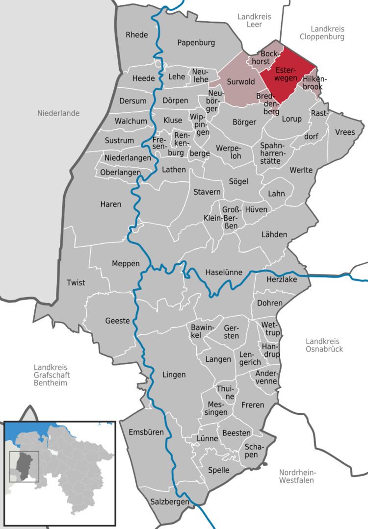
Esterwegen is a municipality in the Emsland district, in Lower Saxony, Germany.
Contents
- Map of 26897 Esterwegen Germany
- Geography
- Demographics
- Government
- Concentration camp
- Notable inmates
- References
Map of 26897 Esterwegen, Germany
Geography
Esterwegen lies in northwest Germany, less than 30 kilometres (19 mi) from the Dutch border and about 40 kilometres (25 mi) from the sea.
Demographics
In 2013 the population was 5,193.
Government
The mayor is Hermann Willenborg.
Concentration camp
In 1933 a concentration camp was established in Esterwegen. In 1936 the camp was dissolved and used till 1945 as a prisoner camp, for political prisoners and later for prisoners of the decree Nacht und Nebel.
Notable inmates
References
Esterwegen Wikipedia(Text) CC BY-SA