
Mexico Ind. 1821 Municipality Est. 1921 Elevation 15 m Capital Espita | Yucatan Est. 1824 Founded 1917 Area 496.9 km² Area code 986 | |
 | ||
Time zone Central Standard Time (UTC-6) | ||
Espita Municipality is one of the 106 subdivisions of the State of Yucatán in Mexico. Its municipal seat is located in the City of Espita and is located on the Litoral Oriente (East Coast) or Region 1 of the state. In 2005 was the 77th municipality with the highest HDI in the state with 0.7320, same as obtained Honduras in 2007.
Contents
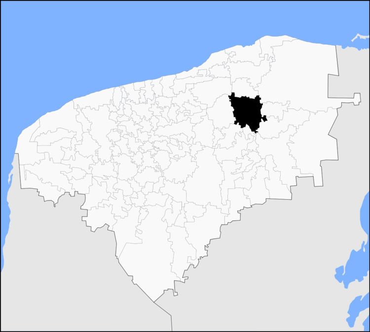
- Map of Espita Municipality YucatC3A1n Mexico
- Location
- Communities
- Architectural
- Archaeological
- References
Map of Espita Municipality, Yucat%C3%A1n, Mexico
Location
This municipality is located in the eastern part of the state. It is located between latitudes 20° 53' and 21° 08' north and longitudes 88° 16' and 88° 27' west.
It borders the following municipalities: to the north Sucilá to the south Tinum and Uayma, on the east Temozón and Calotmul and the west Dzitas - Cenotillo.
Communities
The municipality is responsible Espita 17 commissariats and the municipal seat, in 2005 only 7 of its 17 commissariats exceeded 200 inhabitants and the sum of its population was 3,605 which together with the municipal seat (10,758) the population was of 14,363, i.e. the 99.52% of the municipal population.
Architectural
St. Joseph's Temple, built in the eighteenth century the former Franciscan convent at the beginning of the sixteenth century, and the Municipal Palace.
Archaeological
The area called Pom.