Canton Clères Area 5.12 km² | Region Normandy Population (2006) 1,514 Local time Wednesday 12:53 AM | |
 | ||
Weather 6°C, Wind S at 16 km/h, 83% Humidity | ||
Eslettes is a commune in the Seine-Maritime department in the Haute-Normandie region in northern France.
Contents
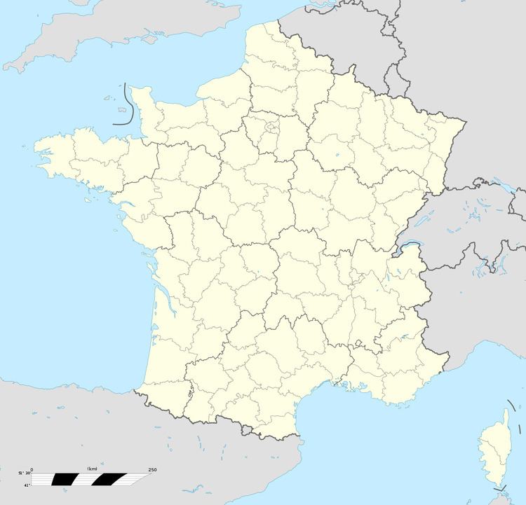
Map of Eslettes, France
Geography
A farming village situated by the banks of the Cailly River in the Pays de Caux, some 16 miles (26 km) northeast of Rouen, at the junction of the D251, D44 and the D297 roads. The A151 autoroute pass through the territory of the commune.
Toponymy
Mentioned in a Latinized version : Esletis ab. 1040.
Old Norse sletta "flat land" with an Old English plural -s.
Same place-name as Sleights (Yorkshire), and without -s, Sletten (Denmark).
Places of interest
References
Eslettes Wikipedia(Text) CC BY-SA
