
Country United States GNIS feature ID 1427841 Local time Tuesday 3:48 PM | Founded 1955 Elevation 1,519 m | |
 | ||
Weather 11°C, Wind S at 13 km/h, 32% Humidity Named for River Esk, Dumfries and Galloway | ||
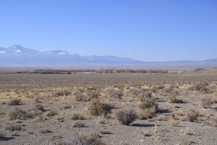
Eskdale (sometimes written as EskDale) is a small unincorporated community farming commune in Millard County, Utah, located just east of the Nevada border. It is located in the southern part of Snake Valley, near the western flank of the Conger Range (part of the larger Confusion Range). It was founded in 1955 by Dr. M. L. Glendenning as a religious community of the House of Aaron. The name itself comes from the River Esk in Scotland.
Map of Eskdale, UT 84728, USA
The town is home to EskDale High School, which serves the communities of Eskdale, Garrsion, Bubank, and Baker (Nevada), along with other locals in the Snake Valley area. Eskdale is also known for its dairy. In the 1990s and 2000s, Eskdale is facing rapid population growth in a rural area that appears to be the ideal place for urban retirees from California.