
Country Turkmenistan Local time Wednesday 2:55 AM | Elevation -22 m (−72 ft) Province Balkan Region | |
 | ||
Weather 11°C, Wind N at 6 km/h, 69% Humidity | ||
Esenguly (formerly Gasan-Kuli) is a town in Turkmenistan, part of the Balkan Province. In 1989 the population of the town was 5,823.
Contents
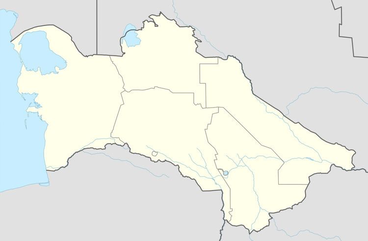
Map of Esenguly, Turkmenistan
Geography
Esenguly lies on a flat, barren plain, just off the coast of the Caspian Sea. The town lies at around 22 metres (72 ft) below sea level.
Climate
Esenguly has a desert climate (Köppen climate classification BWk), with cool winters and hot summers. Temperatures are not as extreme as other parts of Turkmenistan due to the town's proximity to the Caspian Sea. Precipitation is low, but is highest in winter and lowest in summer.
Transportation
A road leads north to Chekishler and Okarem, Route 16 connects these towns to Kum Dag. Another road to the east connects the town to Adzhiyab, Chaloyuk, Karadegish and Ak’yayl, from which Route 15 leads to Gyzyletrek and Karakala, and also to Serdar.