Constituted October 10, 1907 Area 107.5 km² Province Québec | Time zone EST (UTC−5) Population 588 (2011) | |
 | ||
Settled 2nd half of 18th century | ||
Escuminac is a municipality in Quebec, Canada, on the north shore of the Restigouche River.
Contents
Map of Escuminac, QC, Canada
In addition to Escuminac itself, the municipality also includes the communities of Escuminac Flats, Fleurant, and Pointe-à-la-Garde.
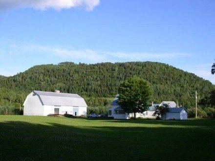
According to the Mi'kmaq themselves, the name of the area is Eskŭmŭnaak, which aptly describes the 1200 foot hill which gives a perfect view of the corresponding area as "lookout point." It has been spelled in various ways over time, including Semenac, Scamanac, Scaumenac, Escouminac, Scoumenac, and Scouminac.
History
The area was first colonized by American Loyalist farmers and loggers.
In 1845, the Municipality of Shoolbred, which included the area now known as Nouvelle, was first incorporated. It was named after John Shoolbred, who was the first owner of the seignory granted there. In 1847, the municipality was abolished but re-established in 1855. From 1861 on, it was known as the Township Municipality of Nouvelle-et-Shoolbred.
In 1907, the township municipality was split into the Municipalities of Nouvelle-et-Shoolbred-Partie-Nord-Est (that became Nouvelle in 1953) and Nouvelle-et-Shoolbred-Partie-Sud-Ouest. This latter one was renamed to Escuminac in 1912.
Language
Mother tongue:
