
Area 12.51 km² | Region Occitanie Intercommunality Pays de Chanac Local time Tuesday 10:09 PM | |
 | ||
Weather 2°C, Wind NW at 8 km/h, 95% Humidity | ||
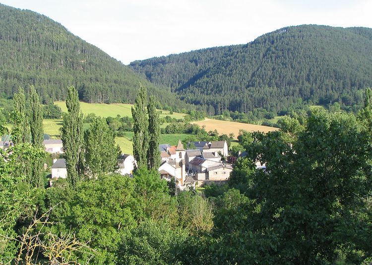
Esclanèdes is a commune in the Lozère department in southern France.
Contents
Map of 48230 Esclan%C3%A8des, France
Its inhabitants are known as Esclanédiens.
Geography
The main part of the commune is located in the Lot valley, whereas the rest is on the Causse of Sauveterre. The town hall is located in the biggest burg called Le Bruel, on the north side of the river. Esclanèdes is named after the burg situated on the north side and where is located the church. Other inhabited places are the small burgs of Les Crottes et la Rocherousse and the two farms of Marance and Le Mazet.
The adjoining communes are the following:
Administration
The current mayor is Bernard Pinot. He was re-elected in 2008.
Demographics
Between 1990 and 1999:
References
Esclanèdes Wikipedia(Text) CC BY-SA