
Municipality Escárcega Town status 1956 Population 29,477 (2010) Area code 982 | Ejido 5 July 1939 City status 19 July 1990 Local time Tuesday 3:47 PM | |
 | ||
Weather 33°C, Wind E at 18 km/h, 43% Humidity | ||
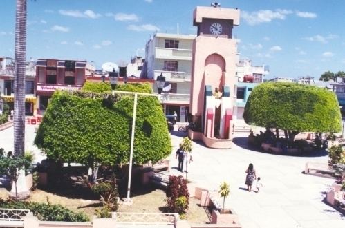
Escárcega ([esˈkarseɣa]) is a small city in the Mexican state of Campeche, located at 18.62°N 90.74°W / 18.62; -90.74 in the central part of the state. As of 2010, the city of Escárcega had a population of 29,477.
Map of Esc%C3%A1rcega, Campeche, Mexico
The city serves as the administrative centre for the surrounding municipality of the same name, which includes the city and its hinterland. In 2010 the population of Escárcega municipality was 54,184. Its area is 4,569.64 km² (1,764.35 sq mi), which includes many smaller outlying communities, the largest of which is called División del Norte.
Escárcega is at the junction of Mexican Federal Highways 251 and 186, and is crossed by the railway that runs from Coatzacoalcos, Veracruz, to Campeche, Campeche. It is a new city that grew up in the 20th century with the arrival of the railways and roads. It is named after Francisco Escárcega, a native of Tlaxcala who fought in the Mexican Revolution and oversaw the construction of much of the rail network in the country's southeast.