Trisha Shetty (Editor)

Erwarton

Updated on
Edit
Like
Comment
Share on FacebookTweet on TwitterShare on LinkedInShare on Reddit
Population
  
126 (2011)

Country
  
England

Post town
  
Ipswich

Local time
  
Tuesday 5:56 PM

District
  
Babergh

Region
  
East

Sovereign state
  
United Kingdom

Postcode district
  
IP9 1

Shire county
  
Suffolk

Erwarton

Weather
  
8°C, Wind SW at 10 km/h, 73% Humidity

Arwarton or Erwarton is a small village and civil parish in the Babergh district of Suffolk, England. Located on the Shotley peninsula around 9 miles (14 km) south of Ipswich, in 2005 it had a population of 110, increasing to 126 at the 2011 Census.

Contents

Map of Erwarton, Ipswich, UK

Neighbouring villages include Shotley, Shotley Gate, Harkstead, Chelmondiston and Holbrook.

The name originates from the Early Saxon Eoforweard tūn.
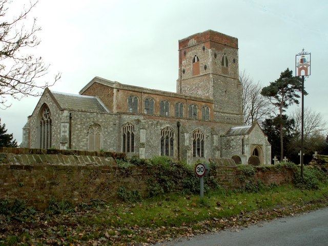
Places of interest

  • Monuments within St. Mary's church date from the 13th century, although the present building is largely 15th century. A copy of a drawing of Queen Anne Boleyn by Holbein is attached to the 1912 organ. Under the organ is a note stating "...after her execution in the Tower of London, 19 May 1536, it was recorded that her heart was buried in this church by her Uncle, Sir Philip Parker of Erwarton Hall". In 1837 a leaden casket was discovered in the church which, by tradition, is believed to contain Boleyn's heart, although there was no inscription. The church baptismal font is adorned with a rather distinctive example of a Tudor Rose. The church tower was strengthened in the 1800s after damage by lightning, but by 2012 was in desperate need of repair.
  • Erwarton Hall, a Grade II* listed building, was rebuilt in about 1575. The gatehouse, also grade II* listed, is a well-known local landmark.
  • The Queens Head, a Grade II listed public house, dates from the 17th century or earlier.
  • References

    Erwarton Wikipedia