
Area 9.6 km² Population 0 (2010) | Local time Tuesday 12:53 PM | |
 | ||
Weather -1°C, Wind S at 13 km/h, 78% Humidity | ||
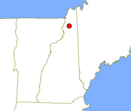
Erving's Location is a township in Coos County, New Hampshire, United States. In New Hampshire, locations, grants, townships (which are different from towns), and purchases are unincorporated portions of a county which are not part of any town and have limited self-government (if any, as many are uninhabited).
Contents
Map of Erving's Location, NH, USA
According to the 2010 census, the population of the township was zero.
There is a dirt road that starts at New Hampshire State Route 26 in Millsfield just north of a pond and ends to the west in Erving's Location's northeast corner. It is the only way to get to Erving's Location without hiking.
Geography
According to the United States Census Bureau, the location has a total area of 3.7 square miles (9.6 km2), all land. The location's highest point is 2,840 feet (870 m) above sea level, along its eastern boundary, part way up the slope of Mount Kelsey, the summit of which is located in Millsfield.
Demographics
In the census of 2010, 0 people were recorded as living in Erving's Location.