
Population 22 (2000) | Local time Wednesday 5:15 PM | |
 | ||
Weather -13°C, Wind NW at 27 km/h, 43% Humidity | ||
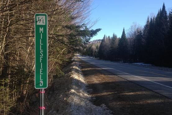
Millsfield is a township in Coos County, New Hampshire, United States. It is part of the Berlin, NH–VT Micropolitan Statistical Area. The population was 23 at the 2010 census.
Contents
Map of Millsfield, NH, USA
In New Hampshire, locations, grants, townships (which are different from towns), and purchases are unincorporated portions of a county which are not part of any town and have limited self-government (if any, as many are uninhabited).
History
In 1774, Millsfield was granted to George Boyd and others and contained about 23,200 acres (94 km2). It was named in honor of Sir Thomas Mills. In 1952, Millsfield was organized for voting purposes.
Geography
According to the United States Census Bureau, the township has a total area of 45.2 square miles (117.1 km2), of which 44.7 square miles (115.8 km2) is land and 0.4 square miles (1.0 km2), or 0.89%, is water. The township is bordered to the west by Erving's Location and Odell, to the north by Dixville, to the east by Errol, and to the south by Dummer.
Millsfield has the only road that leads to Erving's Location, a place that according to the 2000 U.S. Census had a population of 1. The road goes to the north of Mount Kelsey, the highest point in Millsfield at 3,472 feet (1,058 m) above sea level.
Politics
New Hampshire law allows towns with fewer than 100 residents to open the polls at midnight and close them as soon as all registered voters have cast their ballots.
Election results
Boldfaced names indicate the ultimate nationwide winner of each contest:
2016
In July 2016 residents voted to seek incorporation as a town. Legislative action will be required to implement this process.
Demographics
As of the census of 2000, there were 22 people, 8 households, and 5 families residing in the township. The population density was 0.5 people per square mile (0.2/km²). There were 62 housing units at an average density of 1.4 per square mile (0.5/km²). The racial makeup of the township was 100.00% White.
There were 8 households out of which 12.5%(one) had children under the age of 18 living with them, 37.5% (three) were married couples living together, 25.0% (two) had a female householder with no husband present, and 37.5% (three) were non-families. 37.5% (three) of all households were made up of individuals and 25.0% had someone living alone who was 65 years of age or older. The average household size was 2.75 and the average family size was 3.80.
In the township the population was spread out with 13.6% (three) under the age of 18, 9.1% (two) from 18 to 24, 22.7% (five) from 25 to 44, 9.1% (two) from 45 to 64, and 45.5% (10) who were 65 years of age or older. The median age was 52 years. For every 100 females there were 37.5 males. For every 100 females age 18 and over, there were 46.2 males.
The median income for a household in the township was $59,375, and the median income for a family was $59,375. Males had a median income of $38,750 versus $0 for females. The per capita income for the township was $13,063. None of the population or the families were below the poverty line.