Postcode(s) 5461 Federal Division(s) Wakefield Postal code 5461 | State electorate(s) Goyder Erith Hoskin Corner | |
 | ||
Location 8 km (5 mi) south of Balaklava25 km (16 mi) north of Mallala90 km (56 mi) north of Adelaide LGA(s) | ||
Erith is a locality on the northern Adelaide Plains in the Mid North of South Australia. It is on the road northwest from Owen towards Bowmans and Port Wakefield.
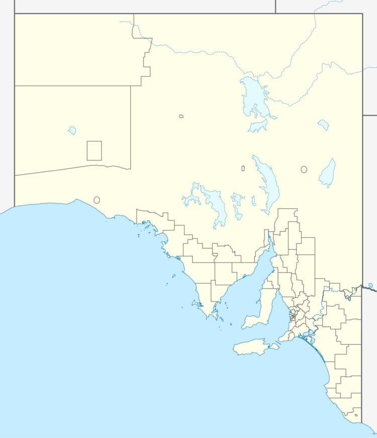
Map of Erith SA 5461, Australia
The Erith primary school opened in 1877 but has since closed sometime after 1949.
References
Erith, South Australia Wikipedia(Text) CC BY-SA
