
Population 4,633 (2011 census) Postal code 2250 Parish Kincumber | Postcode(s) 2250 State electorate(s) Terrigal Area 6.5 km² Local time Sunday 10:15 PM | |
 | ||
Location 7 km (4 mi) E of Gosford6 km (4 mi) W of Terrigal Weather 22°C, Wind NE at 23 km/h, 74% Humidity | ||
Erina is a suburb of the Central Coast region of New South Wales, Australia between Gosford and the Pacific Ocean at Terrigal. It is part of the Central Coast Council local government area.
Contents
Map of Erina NSW 2250, Australia
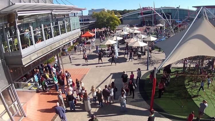
Erina is the commercial hub of the City of Gosford. It contains one of the largest shopping centres in Australia, Erina Fair, which contains over 330 shops and stores. There are many other major commercial businesses located throughout the suburb predominantly on The Entrance Road, Karalta Road and Barralong Road.
The suburb is home to the Erina Eagles rugby league team, who play in the Central Coast Premiership.
Education
Schools in the local area include:
Churches
Churches in Erina include EV Church and Coastlife Church. The Chinese Baptist Evelyn Tong Memorial Church is due for completion in late 2017.