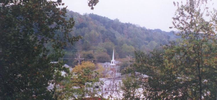
Country United States Time zone CST (UTC-6) Elevation 146 m Zip code 37061 Local time Sunday 6:13 AM | Settled approx. 1780 FIPS code 47-24320 Area 10.6 km² Population 1,319 (2013) Area code 931 | |
 | ||
Weather -2°C, Wind N at 11 km/h, 55% Humidity | ||
Erin is a city in and the county seat of Houston County, Tennessee, United States. The population was 1,490 at the 2000 census, and 1,324 at the 2010 census.
Contents
- Map of Erin TN 37061 USA
- History
- Geography
- Major roads and highways
- ZIP code
- Area code
- Government
- Elected officials
- Aldermen
- Demographics
- Public high schools
- Public primarymiddle schools
- Major Events
- References
Map of Erin, TN 37061, USA
History
The city was perhaps named for Erin, a poetic name for Ireland.
Geography
Erin is located at 36°19′1″N 87°41′53″W (36.316998, -87.697946). The elevation is 480 feet above sea level.
According to the United States Census Bureau, the city has a total area of 4.1 square miles (11 km2), all land.
Major roads and highways
ZIP code
The ZIP code used in the Erin area is 37061.
Area code
Erin uses the area code 931.
Government
Elected officials
Aldermen
Demographics
As of the census of 2000, there were 1,490 people, 588 households, and 355 families residing in the city. The population density was 363.6 people per square mile (140.3/km²). There were 653 housing units at an average density of 159.4 per square mile (61.5/km²). The racial makeup of the city was 86.38% White, 10.40% African American, 0.27% Native American, 0.67% from other races, and 2.28% from two or more races. Hispanic or Latino of any race were 0.94% of the population.
There were 588 households out of which 28.4% had children under the age of 18 living with them, 40.1% were married couples living together, 16.3% had a female householder with no husband present, and 39.5% were non-families. 37.2% of all households were made up of individuals and 21.9% had someone living alone who was 65 years of age or older. The average household size was 2.23 and the average family size was 2.92.
In the city the population was spread out with 22.3% under the age of 18, 7.6% from 18 to 24, 22.4% from 25 to 44, 22.3% from 45 to 64, and 25.4% who were 65 years of age or older. The median age was 43 years. For every 100 females there were 81.7 males. For every 100 females age 18 and over, there were 74.5 males.
The median income for a household in the city was $23,107, and the median income for a family was $30,833. Males had a median income of $26,484 versus $18,333 for females. The per capita income for the city was $15,281. About 19.2% of families and 23.7% of the population were below the poverty line, including 30.4% of those under age 18 and 25.1% of those age 65 or over.
