
Regional district Central Kootenay Postal code span V0B 1G0 Elevation 620 m | Region East Kootenay Time zone MST, PST (UTC-7) Highways 321 Local time Saturday 9:58 PM Waterway Goat River | |
 | ||
Weather 3°C, Wind N at 5 km/h, 94% Humidity | ||
Erickson is an unincorporated community immediately to the east of Creston, British Columbia. It is home to many cherry and apple orchards and is located on Highway 3, also known as the Crowsnest Highway.
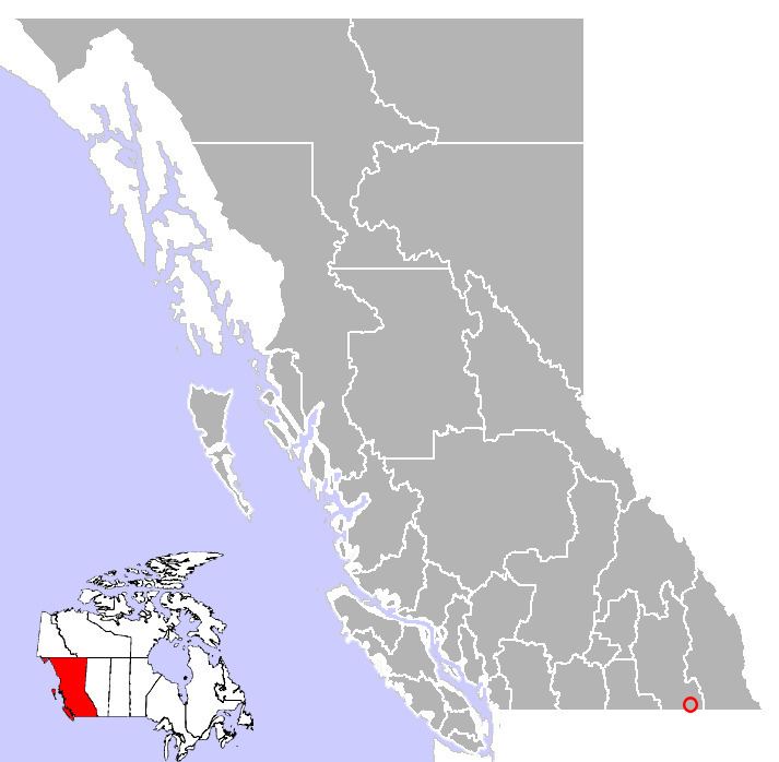
Map of Erickson, BC, Canada
Erickson has one school, Erickson Elementary School, which is in the School District # 8 and has grades Kindergarten through Grade 7. Erickson has two wineries, three hotels, one gas station, a micro grocery, and a sawmill. There are also over 10 fruit stands scattered along the two main roads. (Highway 3 & Erickson Rd)
In 1926 the East Creston Irrigation District was established and, for the first time, Erickson had fresh running water from Arrow Creek. The pipeline from Arrow Creek is powered by gravity and no pumps are necessary from Arrow Creek all the way to Creston.