
Country China Prefecture-level city Hulunbuir Area 28,400 km² Local time Sunday 10:58 AM | Region Inner Mongolia Time zone China Standard (UTC+8) Postal code 22050 Area code 0470 | |
 | ||
Weather -7°C, Wind NW at 11 km/h, 54% Humidity Points of interest Moerdaoga National Forest Park, Erguna Wetland Scenic Ar, Shiwei Port, Yimu Jiuling, Hawu'erhe Scenic Area | ||
Ergun (Chinese: 额尔古纳市, É'ěrgǔnà Shì; Mongolian: Эргүн Ergün), formerly Ergun Right Banner (Mongolian: ᠡᠷᠬᠥᠨᠠ ᠬᠣᠲᠠ Эргүнэ хот; Chinese: 额尔古纳右旗; pinyin: E'erguna You Qi), is a county-level city in China's autonomous region of Inner Mongolia. Administratively, Ergun is part of the prefecture-level city of Hulunbuir. It occupies 28,400 km² on the right (south-eastern) bank of the Argun River, which forms China's border with Russia's Zabaykalsky Krai (formerly, Chita Oblast).
Contents
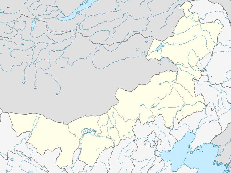
Map of Erguna, Hulun Buir, Inner Mongolia, China
The county-level city had the population of 85162 people as of 2006.
Subdivisions
The county-level city of Ergun is divided into 2 towns, 2 ethnic townships, and two subdistricts (街道办事处). As of 2006, their population was reported as follows:
Ethnic composition of the county-level city of Ergun, as of 2006, was reported as follows:
There are two international border crossings in the county-level city.