
 | ||
Ereta Peak (Bulgarian: връх Ерета, ‘Vrah Ereta’ \'vr&h e-'re-ta) is the peak rising to 2300 m at the north extremity of Bastien Range in Ellsworth Mountains, Antarctica. It has steep and partly ice-free north and southwest slopes, and surmounts upper Nimitz Glacier to the southeast.
Contents
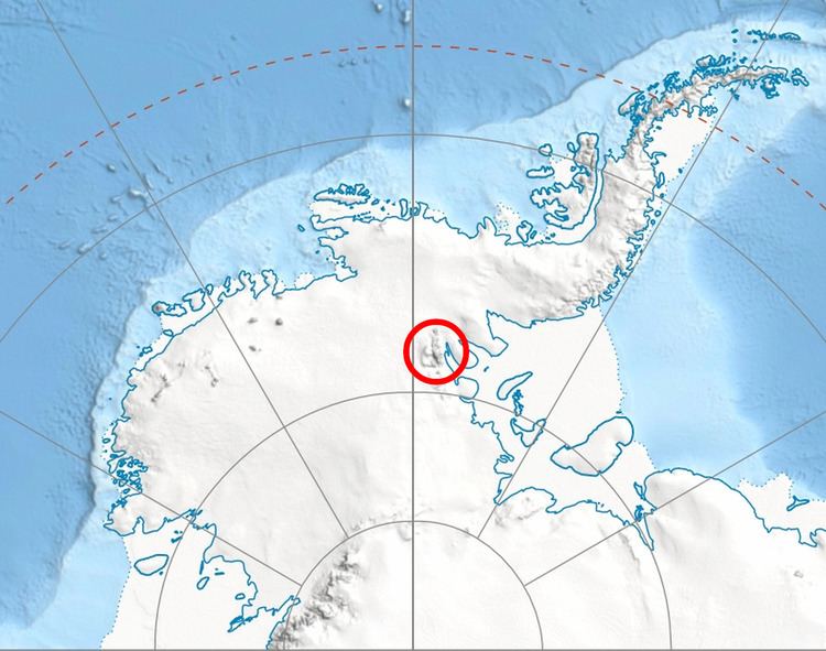
Map of Ereta Peak, Antarctica
The peak is named after the Thracian town of Ereta in Northeastern Bulgaria.
Location
Ereta Peak is located at 78°31′14.2″S 86°37′43.6″W, which is 12.88 km northwest of Ichev Nunatak, and 19.63 km southwest of Mount Gardner and 22.5 km west of Mount Vinson in Sentinel Range. US mapping in 1961 and 1988.
Maps
References
Ereta Peak Wikipedia(Text) CC BY-SA