
Official name Irai Dam Opening date 1983 Impounds Irai river Height 30 m Impound Irai River | Location Chandrapur Type of dam Earthfill
Gravity Length 1,620 m (5,310 ft) Surface area 58,000 km² | |
 | ||
Owners Government of Maharashtra, India Similar Irai Safari Retreat, Alexander Point Matheran, Bhaktidham, Tadoba Andhari Tiger Proj, Upper Wardha Dam | ||
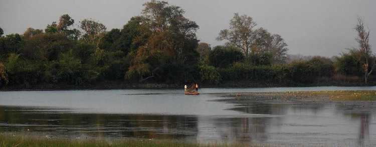
Irai Dam, is an earthfill and gravity dam on Irai river near Chandrapur and Tadoba Andhari Tiger Project in state of Maharashtra in India. A borderline flood situation was seen in the catchment and the low-lying areas of this dam and the nearby Chargaon dam in September 2012. The situation came under control after the rainfall stopped.
Contents
Map of Erai Dam, Sawari, Maharashtra 442902
Specifications
The height of the dam above lowest foundation is 30 m (98 ft) while the length is 1,620 m (5,310 ft). The volume content is 985 km3 (236 cu mi) and gross storage capacity is 226,500.00 km3 (54,340.24 cu mi).
Purpose
References
Erai Dam Wikipedia(Text) CC BY-SA