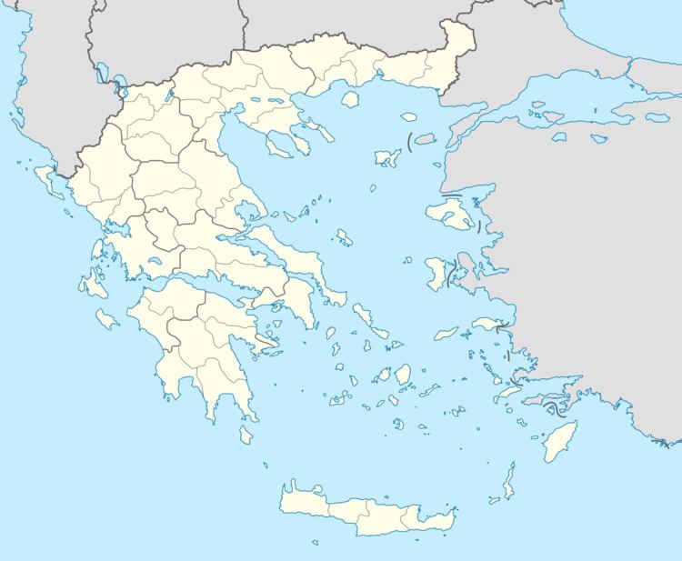
Time zone EET (UTC+2) Vehicle registration ΗΑ Area code 26210 Regional unit Elis | Elevation 37 m (121 ft) Postal code 270 58 Local time Saturday 7:33 PM | |
 | ||
Weather 13°C, Wind N at 14 km/h, 60% Humidity | ||
Epitalio (Greek: Επιτάλιο, before 1927: Αγουλινίτσα - Agoulinitsa) is a town and a community in the municipal unit of Volakas, Elis, Greece. Since the 2011 local government reform it is part of the municipality Pyrgos. Epitalio was the seat of the former municipality Volakas. Epitalio is situated at the foot of low hills, 4 km from the Ionian Sea and 2 km from the river Alfeios. It is 7 km southeast of Pyrgos, 12 km west of Olympia and 12 km northwest of Krestena. The Greek National Road 9 (Patras - Pyrgos - Kyparissia) and the railway from Pyrgos to Kalamata run through Epitalio. The community consists of the town Epitalio and the beach village Paralia.
Contents
Map of Epitalio 270 58, Greece
History
Epitalio was named after the ancient Elean city Epitalium. Epitalium, identified by Strabo as the Homeric Thryon or Thryoessa, was situated on a hill near the ford of the river Alpheus. Its strategic position on the road along the Ionian Sea coast made it an important military post. The ancient ruins lie north of the present town.
