Airport type Public Elevation AMSL 773 ft / 236 m 2,697 822 | Location Ephraim, Wisconsin 14/32 2,697 Phone +1 920-868-1714 | |
 | ||
Website FriendsOfEphraimGibraltarAirport Address Maple Grove Rd, Fish Creek, WI 54212, USA Similar Ephraim Village Office, Ephraim Fire Departme, Parkwood Lodge, Skyway Drive‑In Theatre, Door County YMCA No | ||
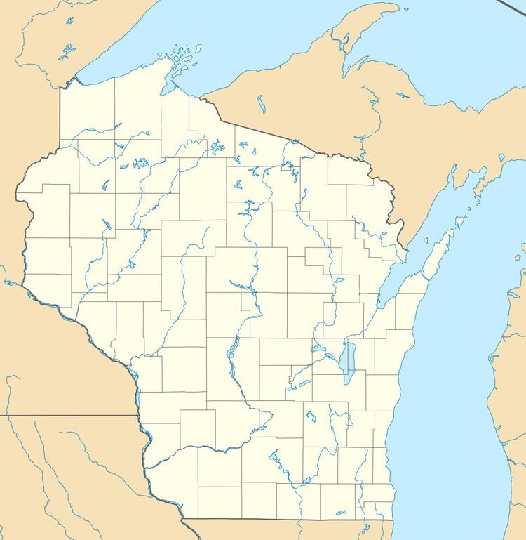
Ephraim–Gibraltar Airport (FAA LID: 3D2) is a public use airport located one nautical mile (2 km) southwest of the central business district of Ephraim, a village in Door County, Wisconsin, United States. The airport is owned by the Village of Ephraim and the Town of Gibraltar. It was formerly known as Ephraim-Fish Creek Airport.
It is included in the Federal Aviation Administration (FAA) National Plan of Integrated Airport Systems for 2017–2021, in which it is categorized as a local general aviation facility.
Facilities and aircraft
Ephraim–Gibraltar Airport covers an area of 160 acres (65 ha) at an elevation of 773 feet (236 m) above mean sea level. It has two runways: 14/32 is 2,697 by 60 feet (822 x 18 m) with an asphalt surface and 1/19 is 2,324 by 240 feet (708 x 73 m) with a turf surface.
Runway 01/19 slopes to the south such that one end of the runway cannot be seen from the other. The airport provides 100LL aircraft fuel.
For the 12-month period ending June 27, 2014, the airport had 9,300 aircraft operations, an average of 25 per day, with 59% transient general aviation, 38% local general aviation and 3% air taxi. In March 2017, there were 16 aircraft based at this airport: 14 single-engine and 2 multi-engine aircraft.
