
Length 3.2 km (1.99 mi) Highest elevation 209 m (686 ft) Population 0 | Width 1.5 km (0.93 mi) Elevation 209 m | |
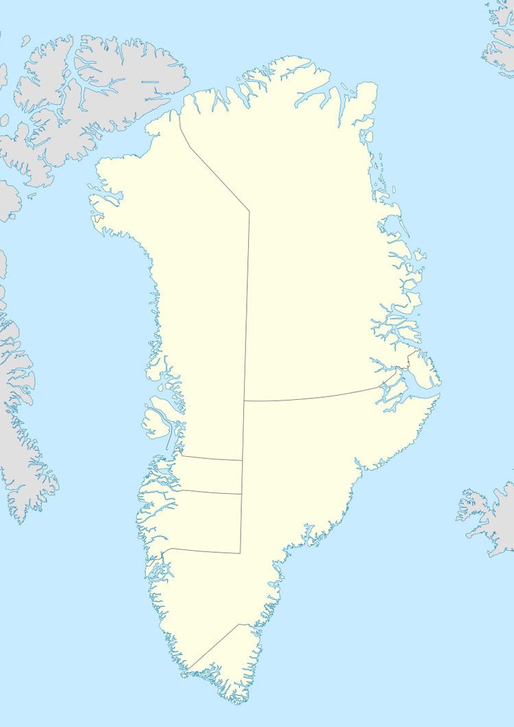 | ||
Location North Atlantic OceanSoutheastern Greenland | ||
Ensomheden, meaning 'Loneliness' in the Danish language, is an uninhabited island in southeastern Greenland. Administratively it is part of the Sermersooq municipality. The weather of the island is characterized by tundra climate.
Contents
Map of Ensomheden, Greenland
Geography
Ensomheden is an island in the Bernstorff Fjord of the King Frederick VI Coast, located between the Odinland Peninsula to the north and the Thorland Peninsula to the south. It lies within the fjord, about 33 kilometres (21 miles) from its mouth in the North Atlantic Ocean. The waters around the island are mostly clogged by ice calved by the active glaciers at the head of the fjord.
The island is 3.2 kilometres (2 miles) long with a maximum width of 1.5 kilometres (1 mile).
References
Ensomheden Wikipedia(Text) CC BY-SA