
Population 24 (2011 census) State electorate(s) Moggill Postal code 4520 | Postcode(s) 4520 Enoggera Reservoir The GapSt Johns Wood | |
 | ||
Location 8 km (5 mi) from Brisbane CBD LGA(s) City of Brisbane(The Gap Ward) | ||
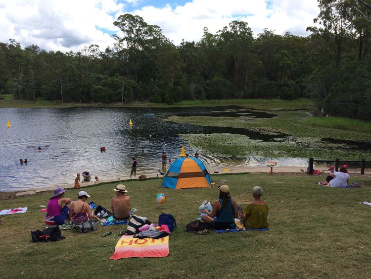
Enoggera Reservoir is an outer suburb of City of Brisbane, Queensland, Australia, which is located 8 kilometres (5 mi) north-west of the CBD and bordering the Moreton Bay Region and The Gap. It contains the neighbourhood of Peewee Bend. In the 2011 census, Enoggera Reservoir had a population of 24 people.
Contents
Map of Enoggera Reservoir QLD 4520, Australia
History
The Enoggera Reservoir suburb is named after the Enoggera Reservoir Dam. As of 12 February 2011, sufficient water inflows returned the reservoir to usable levels, and water is now used to supply neighbouring suburbs. Prior to this the reservoir levels were insufficient for water supply, primarily due to the drought which was experienced by South-East Queensland prior to the January 2011 floods.
Heritage listings
Enoggera Reservoir has a number of heritage-listed sites, including: