
Area 63.79 km² | Canton La Chapelle-d'Angillon Population (2008) 220 Local time Saturday 1:53 AM | |
 | ||
Weather 6°C, Wind E at 10 km/h, 83% Humidity | ||
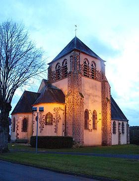
Ennordres is a commune in the Cher department in the Centre region of France.
Contents
Map of 18380 Ennordres, France
Geography
Ennordres is made up of a rural village and associated small hamlets located among forests and farms in the valley of the Petite Sauldre river, approximately 23 miles (37 km) north of Bourges at the junction of the D171, D30 and D181 roads and on the D940 road.
Places of interest
References
Ennordres Wikipedia(Text) CC BY-SA